GPR Underground Trenches and Grave Site Locating

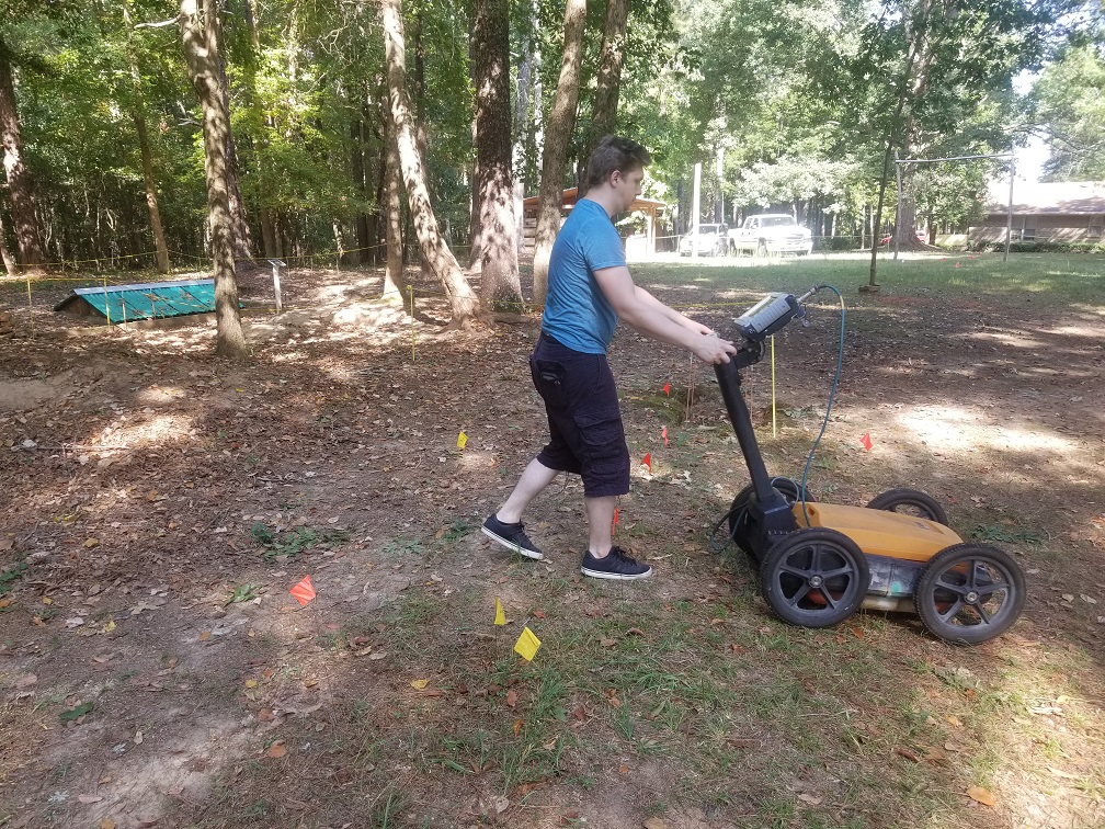
^ Using our 400 MHz GSSI unit to check the ground.
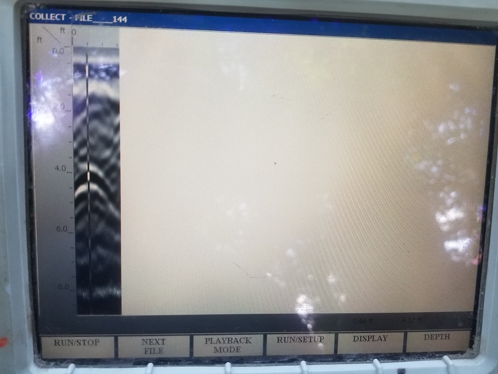
v This is a screenshot of locating the bottom of the trench.

We went out to Fort Daniel in Georgia with our 400 MHz Ground Penetrating RADAR unit. This Fort has been abandoned for around 200 years, and nothing remains above ground of the original fort. The grounds have long since been turned into farmlands and in recent times residential housing. The wooden logs that initially lined the fort were set about 4 feet into the ground and at some point, the walls were removed and the ground was backfilled. This backfill had a reasonable contrast from the soil around it. This gave us the ability to trace the entire wall and see how the walls lined up 200 years later. Ground Penetrating RADAR can let us see back in time and rediscover many locations that have been lost. A more common example of this is locating graves that were dug several hundred years ago in old cemeteries. We were at one site where many of the headstones were completely gone or just worn down to tiny stubs. And in one location that looked to be unused undisturbed ground, we found two side by side graves indicative of a Husband and Wife. Seeing as the gravestones from as early as 1816 were still readable. I would not be surprised if these two were British Citizens who died way before this country was founded.
